
A Week Sailing Poland’s Northern Masurian Lakes, August 2026
The Beginning of Our Sailing Adventure
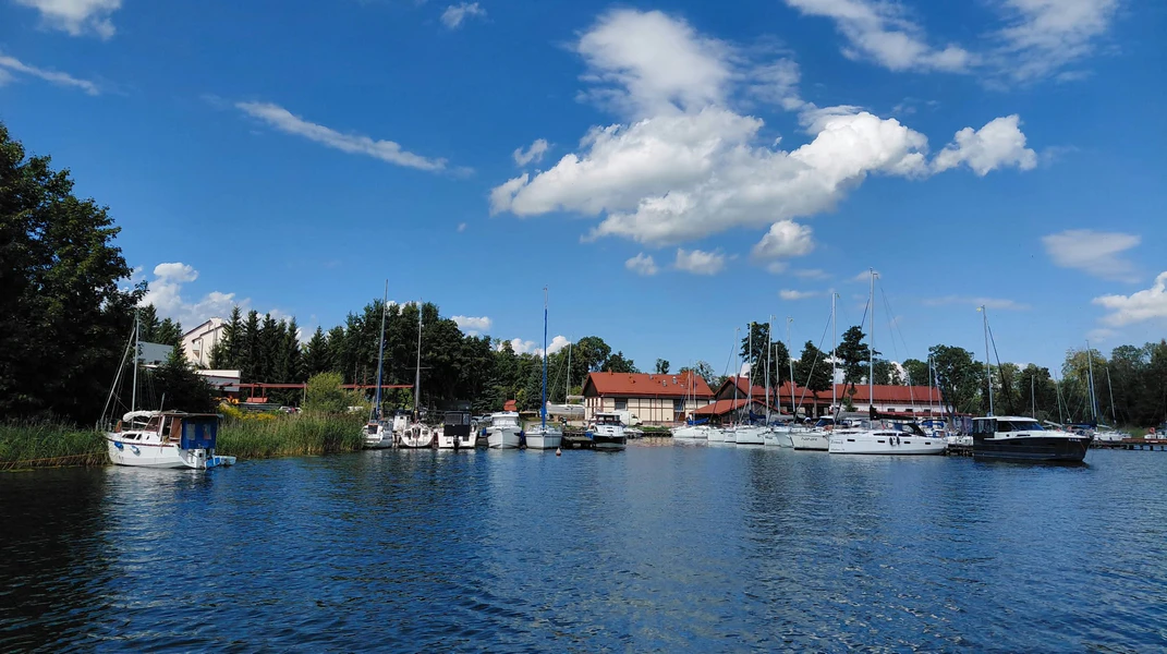
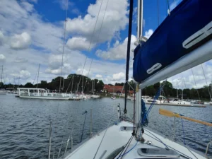
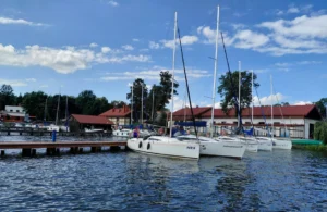
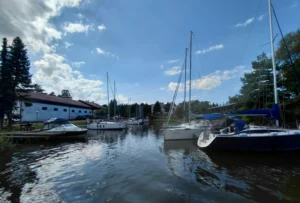
Anyone who’s ever experienced the magic of sailing in Masuria will know that feeling of impatient anticipation. Everything’s packed, and you simply can’t wait to get on board. Our week-long trip to Masuria this year, with six days of sailing ahead of us on the northern Great Masurian Lakes, began with collecting our boat and stowing all our belongings at Port Gospodarstwa Rybackiego in Piękna Góra. This small, charming marina sits on the shores of Lake Tajty, well away from the bustle of central Giżycko, which suited us perfectly.
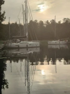
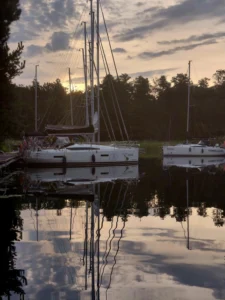
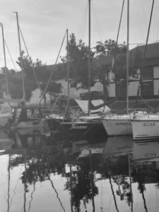
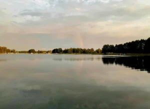
The first sunrise of our trip came in shades of faded sepia. The weather, you see, was rather gloomy. Clouds hung low, and the chilly dawn hinted at a changeable week ahead. As I stood on deck, watching the harbour slowly wake up and the first rays of sunlight timidly breaking through the mist over Lake Tajty, I could feel my excitement growing. I couldn’t wait to set off. The forecasts might have been threatening rain, but we were ready for whatever the weather had in store. We had ambitious plans for the days ahead, and the northern lakes were waiting to reveal their quieter corners, away from the tourist crowds – unique, picturesque and wonderfully wild.
DAY 1: From Piękna Góra Along the Swan Trail to Zimny Kąt Bay
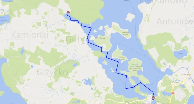
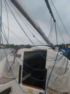
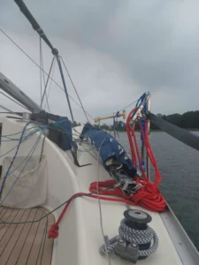
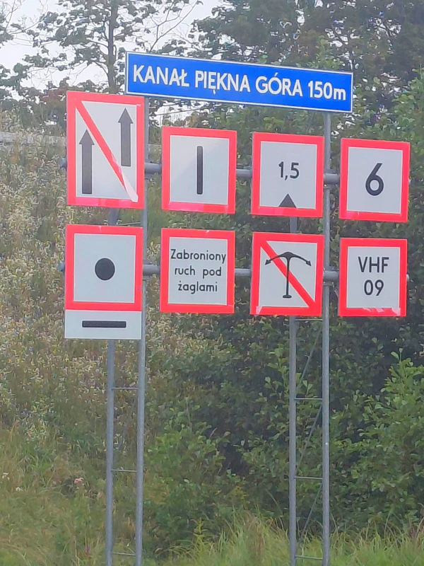
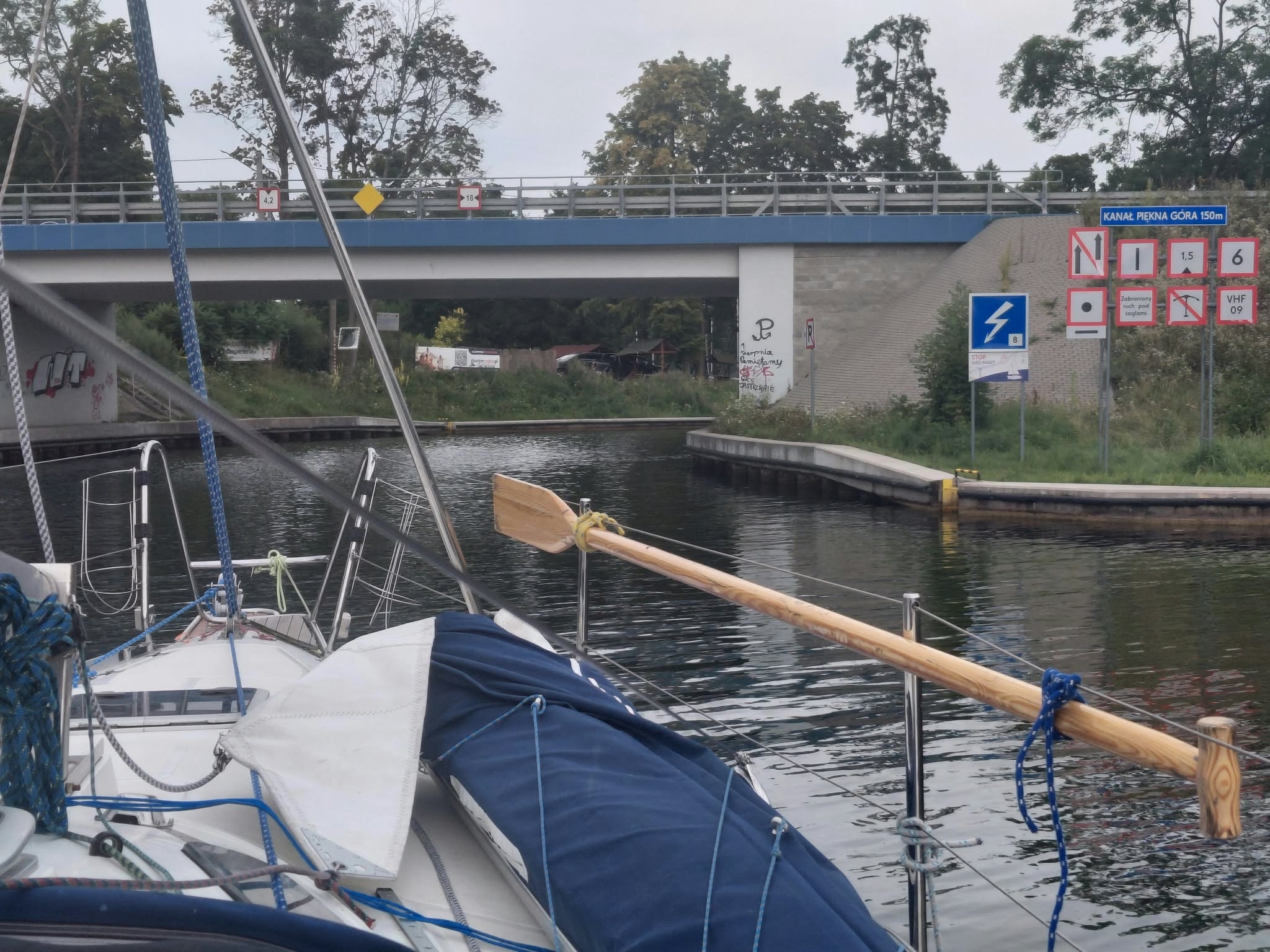
Our first day got off to quite an adventurous start for me, as I helped lower the mast. If I remember rightly, we managed it pretty smoothly, considering it was my first time. With the mast down, we motored through the Piękna Góra Canal, which is about 250 metres long and connects Lakes Tajty and Kisajno. Once through the canal, we found ourselves on Lake Kisajno, near Tracz Bay. We raised the mast, hoisted the sails and headed north-west towards the passage between the Mały Ostrów peninsula and Duży Ostrów Island – the gateway to the Swan Trail.
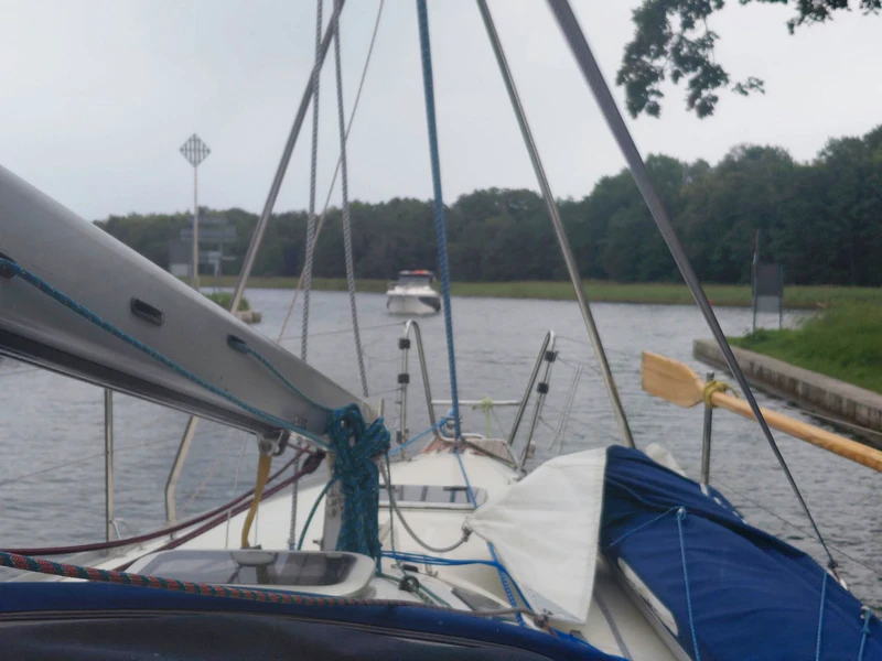
From there, our route wound through the islands, peninsulas and little bays along the western side of Lake Kisajno. We tacked steadily and unhurriedly, giving me plenty of time to appreciate the wild beauty of the place. We wove our way between the islands, gradually heading north. Near Gucki Róg, we headed for the passage between the peninsula and Górny Ostrów Island, then sailed on to Zimny Kąt Bay, where we ended our first day on the water. We dropped anchor in a quiet spot deep inside the bay, almost at its far end, and settled in for the night.
Route, Distance and Time
On our first day, our route took us from Piękna Góra along the Swan Trail to Zimny Kąt Bay on Lake Kisajno. According to our measurements on the map, the route covered approximately 8 km. The journey took around three and a half hours, including motoring through the Piękna Góra Canal with the mast lowered, raising it again and sailing along the Swan Trail to our anchorage.
Piękna Góra → Lake Kisajno: approx. 1.2 km
along the Swan Trail (Łabędzi Szlak): approx. 4.5 km
Górny Ostrów Island → Zimny Kąt Bay: approx. 2.5 km
Day 1 at a glance:
Distance measured on the map: 8.23 km.
Time under way: approx. 3 hrs 30 mins.
I’ve written about the Swan Trail and Zimny Kąt Bay on Lake Kisajno in separate posts:
Sailing the Swan Trail (Łabędzi Szlak): Through a Maze of Islands on Lake Kisajno
Zimny Kąt Bay: An Atmospheric Night at Anchor on Lake Kisajno
DAY 2: From Zimny Kąt Bay Across Lakes Kisajno and Dargin to Sztynort
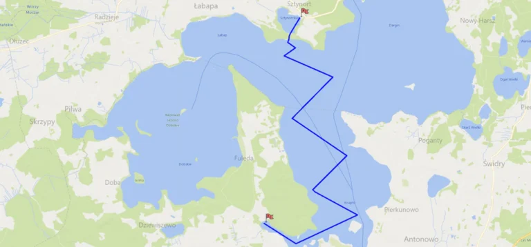
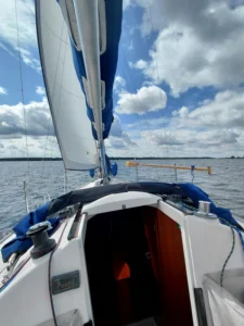
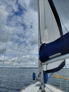
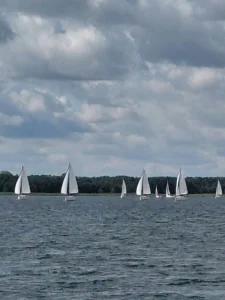
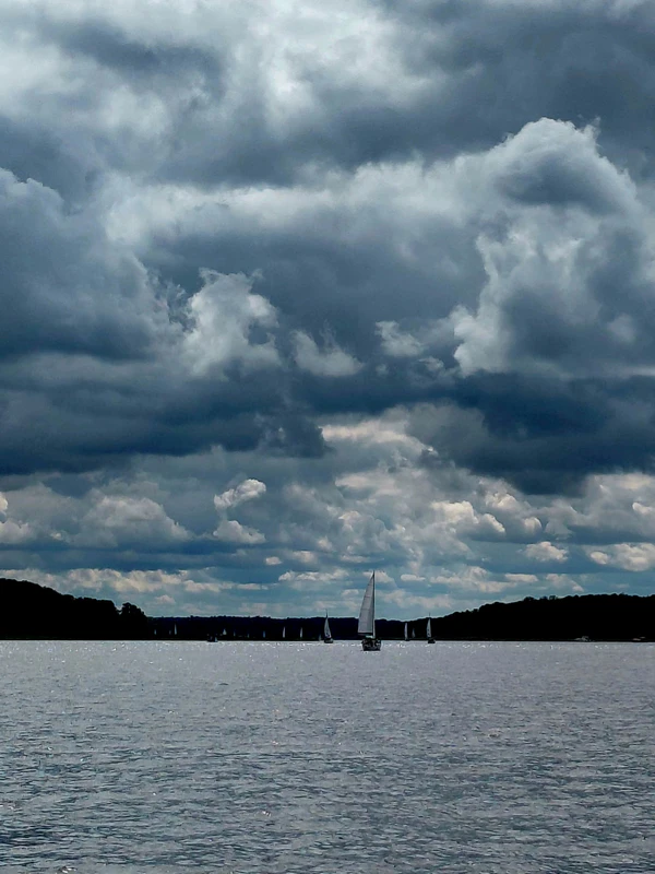
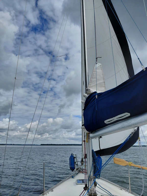
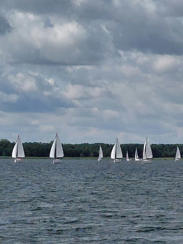
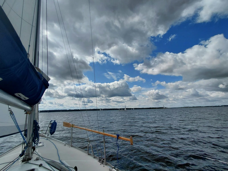
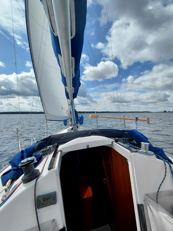
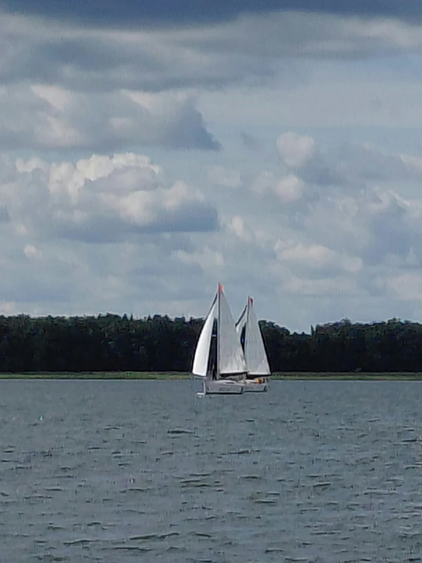
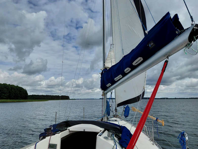
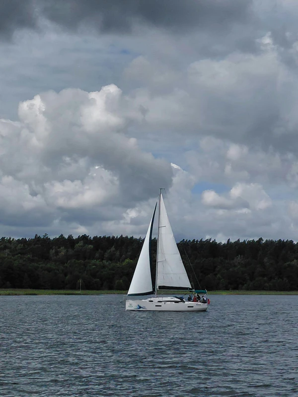
Our main aim that day was to reach the harbour at Sztynort. Unfortunately, the wind was blowing more or less from the direction we wanted to go, so we had to tack. The wide, open waters gave us plenty of room, though, and we sailed long legs, tacking only occasionally. We weren’t in any hurry. With some fairly strong gusts coming through, we lowered the mainsail and continued under jib alone. The boat then had a noticeable tendency to bear away, which we had to correct with the helm. It might not have been the quickest way to make progress upwind, but in those conditions it allowed us to carry on towards Sztynort without too much fuss.
We left Zimny Kąt Bay and headed out onto the open waters of Lake Kisajno, continuing north towards Lake Dargin. Our long tacks took us from one side of the lake to the other, but with every turn we were getting a little closer to our destination. On Lake Dargin, just before entering the Sztynort Canal, we furled the jib and started the engine. The Sztynort Canal connects Lake Dargin with Lake Sztynorckie and is roughly 170–200 metres long. We motored through it, emerged onto Lake Sztynorckie and made our way towards the harbour. We arrived fairly early, which meant we had no trouble finding a free berth at one of the main pontoons in Sztynort. No unnecessary stress, thankfully.
Route, Distance and Time
On our second day, our route took us from Zimny Kąt Bay across Lakes Kisajno and Dargin to Sztynort. With the wind coming from roughly the direction of our destination, we spent much of the journey sailing long legs and making relatively few tacks. According to our measurements on the map, the route covered approximately 14.5 km. The journey took around two and a half to three hours, including the final stretch through the Sztynort Canal and across Lake Sztynorckie under engine power.
Day 2 at a glance:
Distance measured on the map: 14.67 km
Time under way: approx. 2 hrs 30 mins – 3 hrs
I’ve written about the harbour at Sztynort on Lake Sztynorckie in a separate post:
An Epic Masurian Voyage: Uncovering the Legend of Port Nowy Sztynort
DAY 3: From Sztynort Across Lakes Dargin and Łabap to Rajcocha Bay
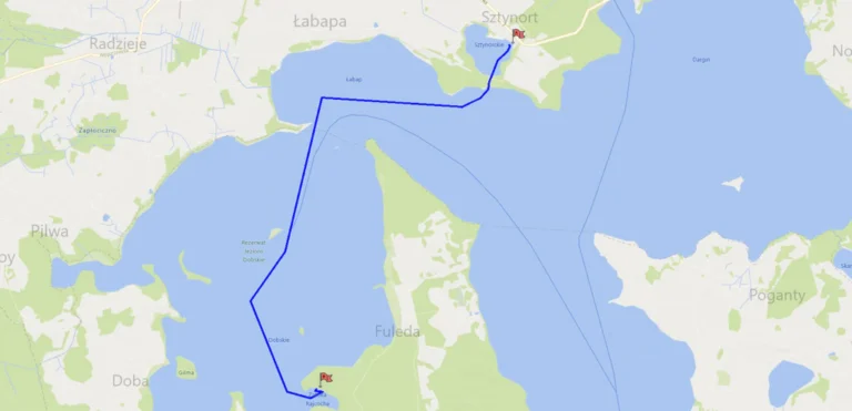
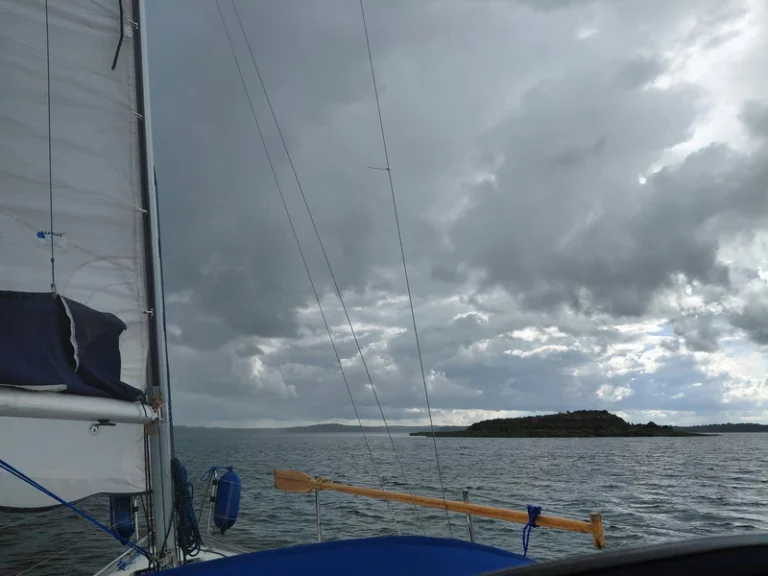
Our main aim that day was to reach Rajcocha Bay on Lake Dobskie. It had been absolutely chucking it down since early morning, so at least we had a good excuse to get our waterproofs out. After motoring through the Sztynort Canal and out onto Lake Dargin, we hoisted the sails. The wind, however, kept shifting, and the heavy rain made visibility poor. As a result, we had to motor-sail part of the route under jib alone. It wasn’t until we reached Lake Łabap that the sky began to brighten a little. We switched off the engine, hoisted the mainsail and started making long tacks, although we weren’t making particularly quick progress. When we entered Lake Dobskie, a protected lake within a quiet zone, we continued entirely under sail. That’s how we made our way right into Rajcocha Bay, the traditional way, without the engine. It wasn’t easy sailing.
The unpredictable weather and the nature of the waters had a big influence on our day. The torrential rain, poor visibility and constantly shifting wind meant we spent part of the journey under engine power, part motor-sailing with the jib up, and the rest under sail. We covered the final stretch across Lake Dobskie and into Rajcocha Bay without using the engine at all.
Route, Distance and Time
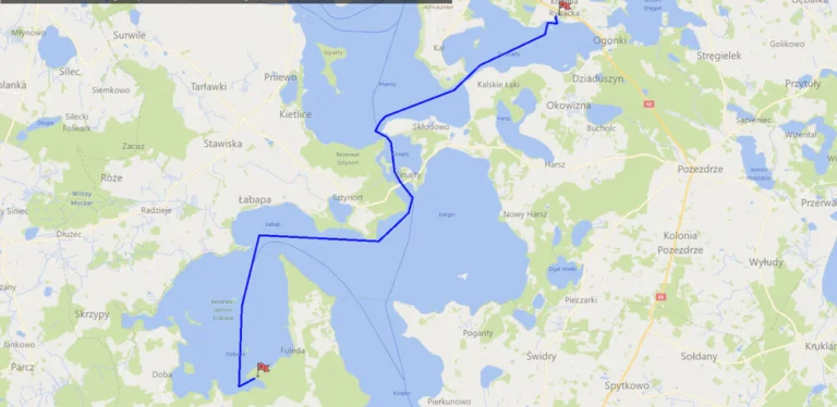
On our third day, our route took us from Sztynort across Lakes Dargin and Łabap to Rajcocha Bay on Lake Dobskie. According to our measurements on the map, the route covered approximately 10 km. The journey took around three and a half hours, including motoring through the Sztynort Canal, crossing Lakes Dargin and Łabap, and sailing the final stretch across Lake Dobskie to Rajcocha Bay.
Day 3 at a glance:
Distance measured on the map: 9.87 km
Time under way: approx. 3 hrs 30 mins
I’ve written about Rajcocha Bay on Lake Dobskie in a separate post:
Into the Wilds of Masuria: Sailing Dobskie and Rajcocha Bay
DAY 4: From Rajcocha Bay Across Lakes Dobskie, Łabap, Dargin, Kirsajty and Mamry to Przystań Nautica Marina
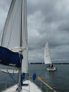
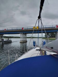
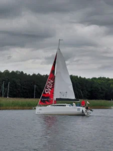
We’d set ourselves quite an ambitious target that day: to reach Przystań Nautica Marina on Lake Święcajty. It was cloudy but at least it wasn’t raining. The wind kept shifting, although it was strong enough for us to sail across Lake Dobskie without any trouble. We carefully navigated the passage between Krzywy Róg and Fuledzki Róg, then made long tacks across Lakes Łabap and Dargin. Before reaching Sztynort Bridge, on the road between Sztynort and Harsz, we lowered the mainsail, furled the jib and started the engine. We lowered the mast and motored under the bridge. Once we were out on Lake Kirsajty, we took our time raising the mast again.
We crossed Lake Kirsajty and the narrow passage leading to Lake Mamry under engine power. It was only once we’d reached the open waters of Mamry that we switched off the engine and hoisted the sails again. We headed east towards Brama Kalska, the narrow passage leading towards Lake Święcajty. Just before reaching it, we lowered the mainsail and furled the jib again so we could motor slowly and carefully through the confined waterway. Once out on Lake Święcajty, we hoisted the sails once more, caught a favourable wind and carried on. We reached our destination without any problems, and at the quay at Przystań Nautica Marina we were welcomed by Robert, the helpful bosun. It had been a beautiful, long and at times demanding day of sailing, and we felt thoroughly pleased with ourselves.
Route, Distance and Time
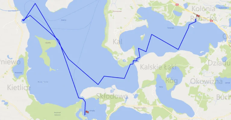
On our fourth day, our route took us from Rajcocha Bay on Lake Dobskie across Lakes Łabap, Dargin, Kirsajty and Mamry to Przystań Nautica Marina on Lake Święcajty. It was a varied route, with some stretches under sail and others under engine power. We also had to lower and raise the mast to pass beneath Sztynort Bridge. According to our measurements on the map, the route covered approximately 22 km. The journey took around five hours, including motoring through the narrow passages, lowering and raising the mast, and making our final approach to Przystań Nautica Marina.
Day 4 at a glance:
Distance measured on the map: 22.06 km
Time under way: approx. 5 hrs
I’ve written about Przystań Nautica Marina on Lake Święcajty in a separate post:
Przystań Nautica: A Hidden Gem on Poland’s Masurian Lakes
DAY 5: From Przystań Nautica Marina to Mamerki and Back to Lake Kirsajty
Our main aim that day was to reach Mamerki and explore the old German military bunkers hidden in the surrounding forest. The weather forecast warned of a serious downpour around midday, so we wasted no time and left Przystań Nautica Marina before eight in the morning. The wind kept shifting, so we crossed Lake Święcajty in several tacks. Then, still under sail and concentrating hard, we carefully negotiated the narrow Brama Kalska passage and Lake Bodma. We made the most of every steadier gust to keep the boat moving and maintain steerage through that tight stretch of water. As soon as we reached the wide-open waters of Lake Mamry, we adjusted the sail trim, caught a stronger breeze and sailed comfortably past Sosnówka Island. It was only just before entering the bay that we lowered the sails and, with the engine running, made our way without any trouble to the quay at Mamerki Leśny Zakątek Marina.
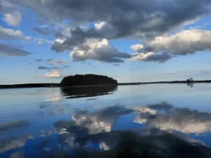
There was something rather special about that morning’s race to beat the rain. For most of the journey, there wasn’t another soul to be seen on the water – not a single yacht apart from ours. Having the lake almost entirely to ourselves was an extraordinary experience in Masuria, and one that has stayed with me. And to top it all off, our plan worked perfectly. We set off at 7.50 am and were safely moored in Mamerki by 10.20 am – an hour and a half before the forecast downpour. The morning leg had taken us exactly two hours and thirty minutes.
I’ve written about Mamerki Leśny Zakątek Marina on Lake Mamry in a separate post:
Mamerki Leśny Zakątek: Rustic Charm and Wartime Bunkers on Lake Mamry
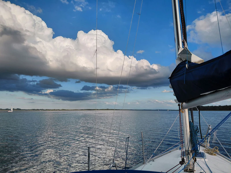
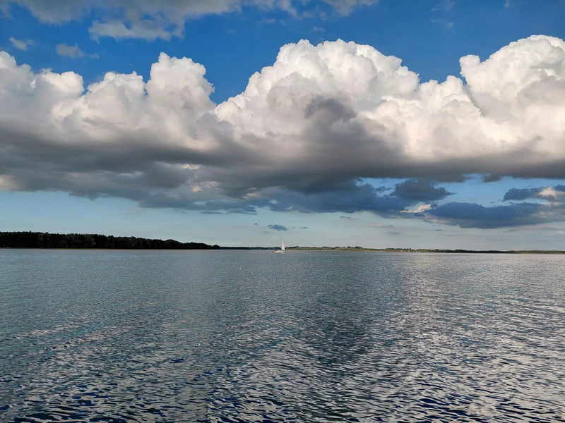
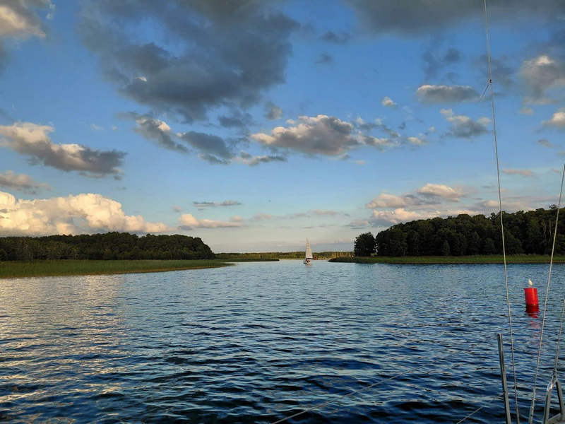
After exploring the bunkers and enjoying some delicious catfish at Barka u Anity, we decided not to spend the night in Mamerki after all. Instead, we’d start making our way back towards Piękna Góra. The weather was on our side, so we hoisted the sails and made long tacks across Lake Mamry. At one point, though, the wind died away completely. We lowered the sails and started the engine. We motored across the rest of Mamry and passed through the Kirsajty Passage onto Lake Kirsajty without any trouble. Once we were on Kirsajty, we decided we’d done enough sailing for one day and would spend the night there. We dropped anchor in a quiet spot outside the reserve boundary marked by buoys, near the approach to Sztynort Bridge.
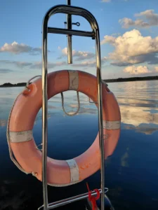
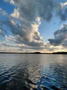
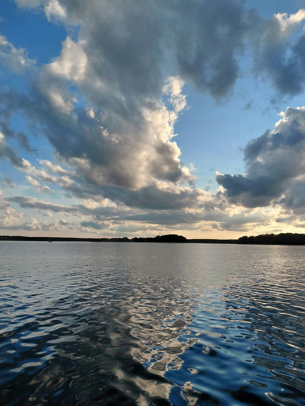
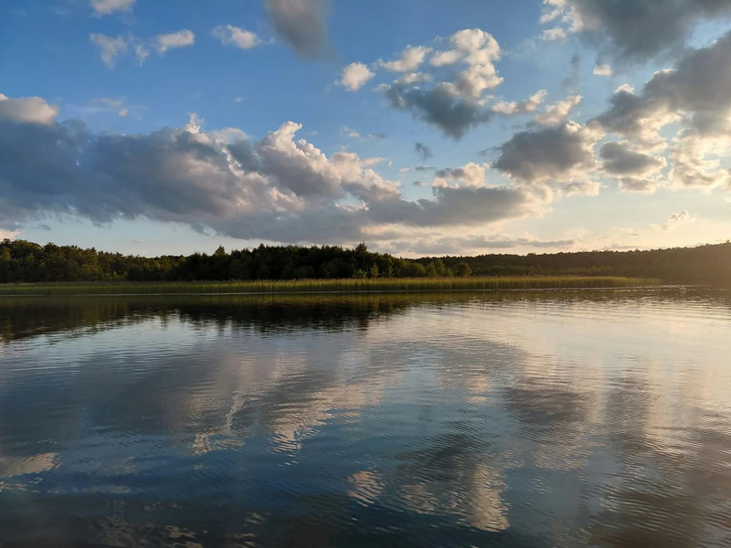
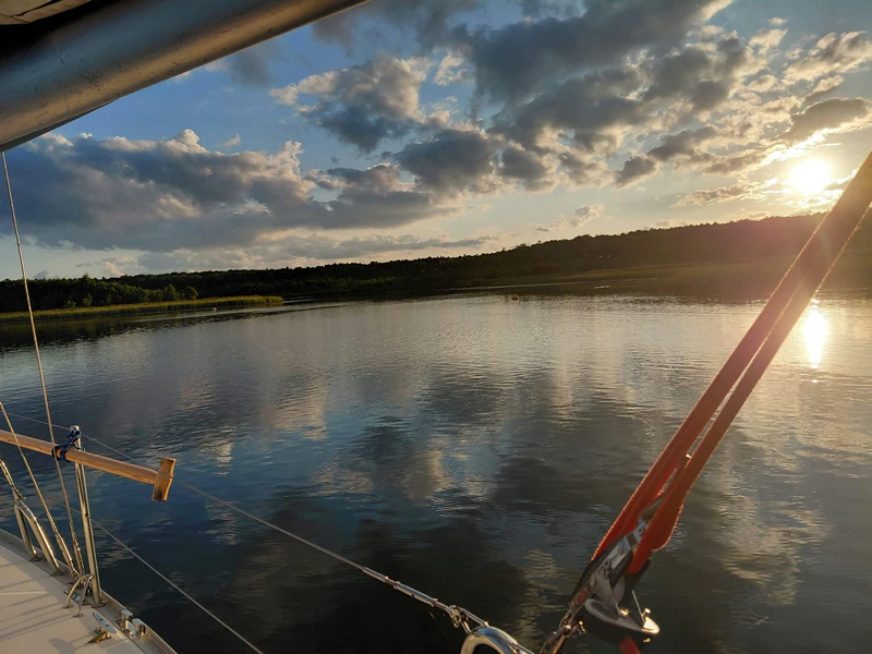
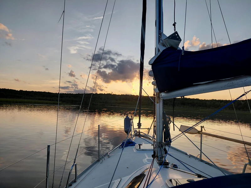
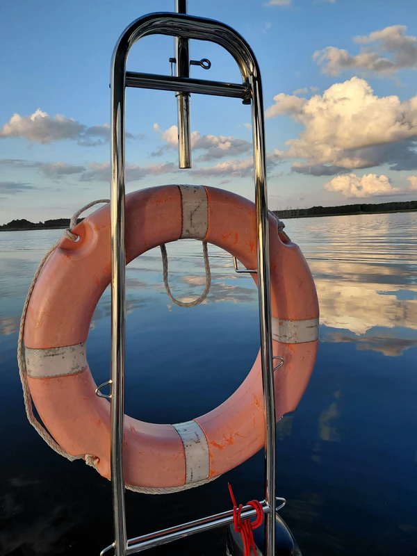
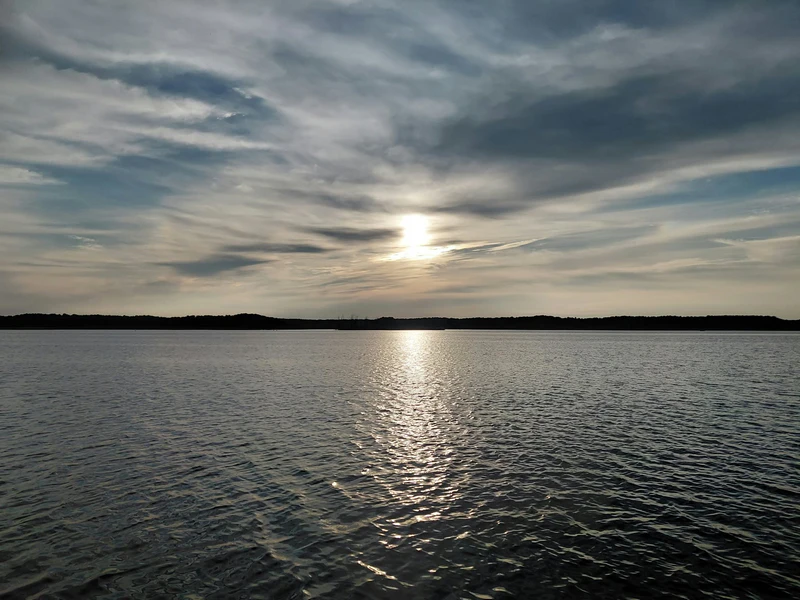
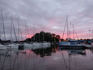
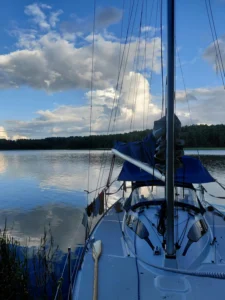
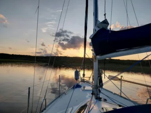
We were treated to a spectacular sunset in an atmosphere of absolute peace. Apart from us, there was just one other yacht on the entire lake. I watched with pleasure and a touch of nostalgia as the lights of distant houses twinkled and the occasional car headlights moved across the bridge. All around us, the only sounds were the gentle slap of water against the hull and the evening calls of birds settling down for the night. I sat quietly watching the sunset, then the stars gradually appearing overhead. It felt so good to experience that wonderful, almost overwhelming sense of contentment again. Without a doubt, this was one of my loveliest memories of the entire trip.
Route, Distance and Time
On our fifth day, our route took us from Przystań Nautica Marina on Lake Święcajty to Mamerki Leśny Zakątek on Lake Mamry. After a break of several hours, we set off on the return journey across Mamry and ended the day at anchor on Lake Kirsajty. According to our measurements on the map, the full route covered approximately 21 km. The morning journey from Przystań Nautica Marina to Mamerki Leśny Zakątek Marina took two and a half hours, from 7.50 am to 10.20 am. In the afternoon, the journey from Mamerki to our anchorage on Lake Kirsajty took approximately one hour and forty-five minutes. Altogether, we spent around four hours and fifteen minutes under way, excluding our break to explore the bunkers and spend some time in Mamerki.
Day 5 at a glance:
Distance measured on the map: 21.29 km
Morning journey: 2 hrs 30 mins
Afternoon journey: approx. 1 hr 45 mins
Total time under way: approx. 4 hrs 15 mins
DAY 6: From Lake Kirsajty Across Lakes Dargin and Kisajno to Piękna Góra
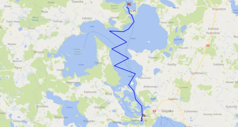
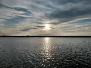
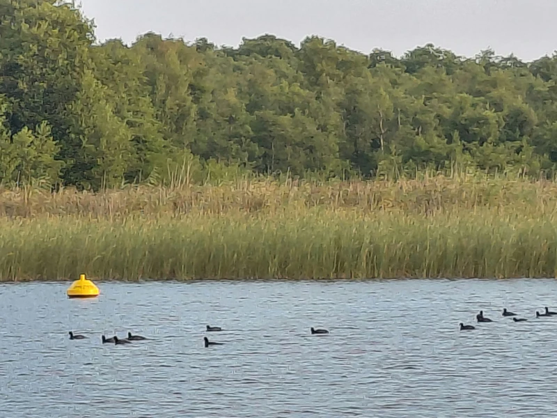
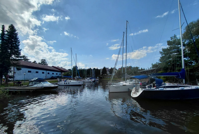
It was time to head back to Piękna Góra. We were feeling a little apprehensive that morning, as manoeuvring into the narrow inner marina at Port Gospodarstwa Rybackiego in Piękna Góra, usually packed with yachts, is no easy business. We got up very early and had our last breakfast of the trip while watching the sunrise and the grebes swimming across the calm surface of the lake. It turned into a long breakfast. We were finding it hard to leave such a beautiful place, still so peaceful and quiet in the early morning. Eventually, though, we got ourselves organised, lowered the mast and motored beneath Sztynort Bridge. It wasn’t until we reached Lake Dargin that we raised the mast and hoisted the sails. The weather was lovely and there was enough wind, so we made long tacks across Dargin and a good part of Lake Kisajno.
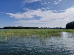
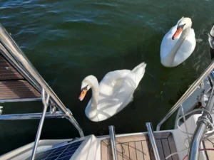
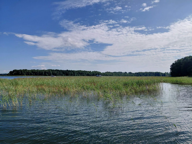
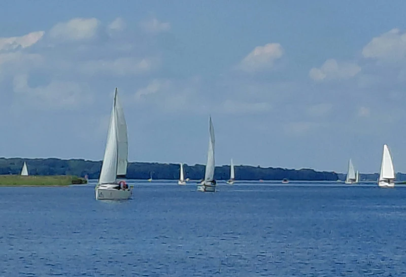
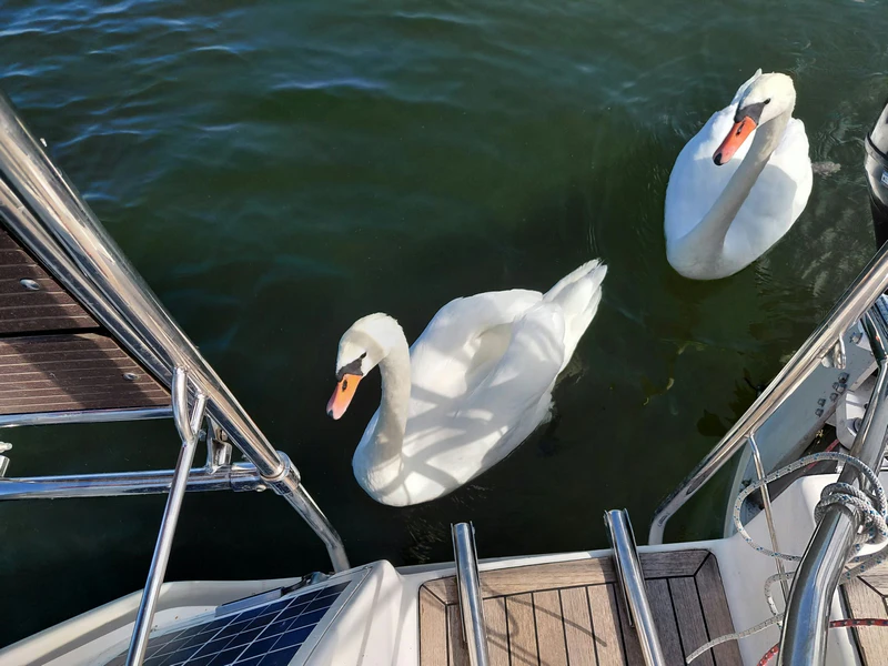
We stopped at anchor in a little bay on the eastern side of Kisajno to have a rest and a swim. That’s when we had some unexpected visitors. A pair of swans swam over and stubbornly kept us company throughout our stop, occasionally hissing as though demanding a contribution. They’re funny, bold birds – full of grace, but pretty crafty too. From the deck, we noticed that Lake Kisajno had suddenly become busy. Plenty of other yachts were also making their way back towards the marinas in Giżycko and Piękna Góra.
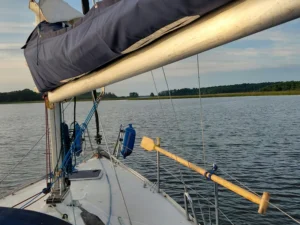
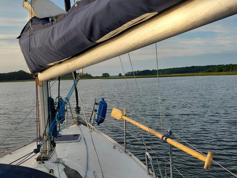
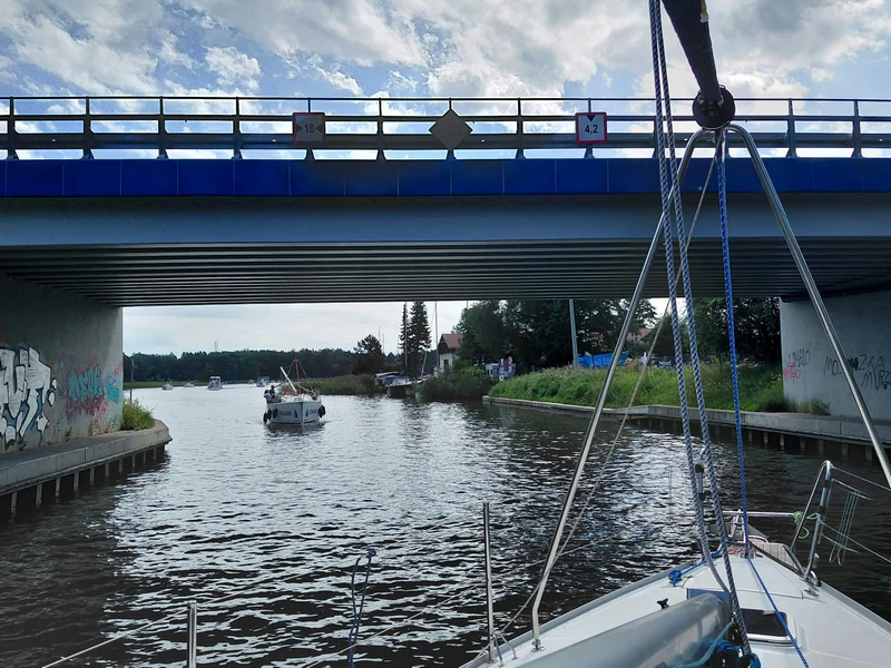
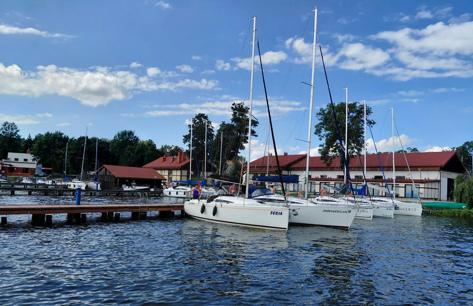
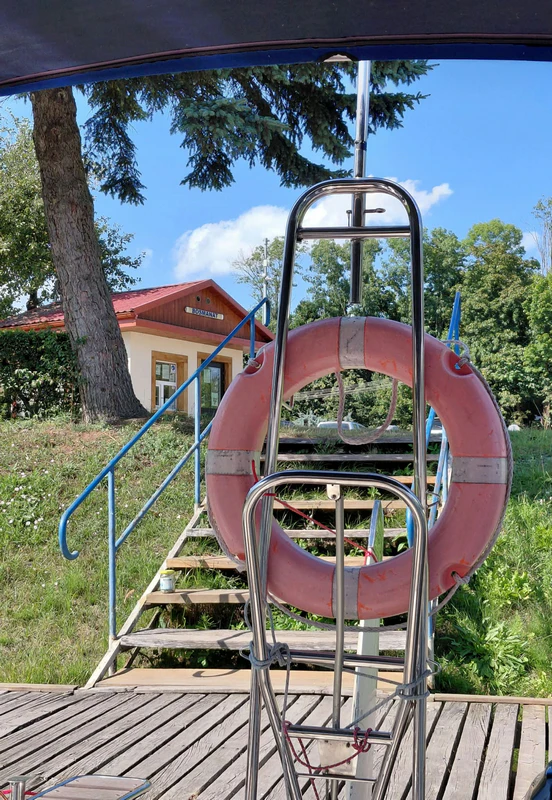
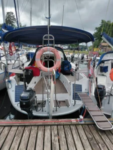
After our break, we hoisted the sails again and continued south towards the Piękna Góra Canal, tacking skilfully despite all the traffic. Just before entering the canal, we lowered the mainsail, furled the jib and lowered the mast. We then motored beneath the road bridge and onto Lake Tajty. Once we were out on the open water of Tajty, we raised the mast for the last time, as required by the boat handover procedure. Next, we washed down the deck, prepared the mooring lines and headed straight towards our marina under engine power. I was ready for action, boat hook in hand, waiting for just the right moment to pick up the lazy line. We entered the inner marina at Piękna Góra without any unexpected adventures. To my delight, Mariusz, one of the yacht’s co-owners, was waiting for us on the JAZCzarter pontoon. Any fan of Game of Thrones would have spotted him from a distance – he bears quite a resemblance to Littlefinger. He helped us take the mooring lines, and moments later we were safely alongside.
Route, Distance and Time
On our sixth day, our route took us from our anchorage on Lake Kirsajty across Lakes Dargin and Kisajno, then through the Piękna Góra Canal onto Lake Tajty, finishing back at our marina in Piękna Góra. According to our measurements on the map, the route covered approximately 22.5 km. The journey took around four hours and forty-five minutes, including lowering and raising the mast and manoeuvring into the marina. We also spent around an hour and a half at anchor on Lake Kisajno, relaxing and having a swim. Including that stop, our final day on the water lasted approximately six hours and fifteen minutes.
Day 6 at a glance:
Distance measured on the map: 22.66 km
Time under way: approx. 4 hrs 45 mins
Stop at anchor on Lake Kisajno: approx. 1 hr 30 mins
Total time, including the stop: approx. 6 hrs 15 mins
Looking Back on the Whole Trip – How Far Did We Sail?
And just like that, our six-day sailing adventure on the northern Great Masurian Lakes came to an end. When I gathered all our maps and added up the routes we’d marked on them, I found that we’d covered a total of 98.78 km, according to those measurements.
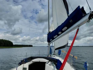
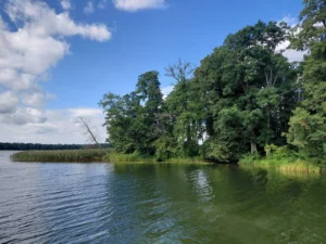
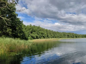
Almost 100 kilometres on the water – under sail, under engine power, with the wind and against it, on long tacks and through narrow passages. There had been masts to lower and raise, bridges to pass beneath, nights at anchor in quiet spots, stops in harbours, torrential rain, flat calms, stronger gusts and those wonderful moments when we had the entire lake to ourselves.
Altogether, we spent approximately 23 hours and 30 minutes to 24 hours under way. That doesn’t include our longer stops, such as the time we spent in Mamerki or the hour and a half we spent at anchor on Lake Kisajno on our final day.
Our Sailing Trip in Numbers
| Day | Distance measured on the map | Time under way |
|---|---|---|
| Day 1 | 8.23 km | approx. 3 hrs 30 mins |
| Day 2 | 14.67 km | approx. 2 hrs 30 mins – 3 hrs |
| Day 3 | 9.87 km | approx. 3 hrs 30 mins |
| Day 4 | 22.06 km | approx. 5 hrs |
| Day 5 | 21.29 km | approx. 4 hrs 15 mins |
| Day 6 | 22.66 km | approx. 4 hrs 45 mins |
Distances are based on the routes marked on our maps rather than recorded GPS tracks. Times under way include sailing, motoring and associated manoeuvres, but exclude longer stops.
Total distance measured on our maps: 98.78 km
Total time under way: approx. 23 hrs 30 mins – 24 hrs
This wasn’t a trip about breaking records or clocking up as many kilometres as possible. We sailed at our own pace, stopped wherever we felt happy and changed our plans whenever the weather – or simply our mood – suggested something different. And that’s exactly what I love most about Masuria.
There was a bit of hard work, a little adrenaline, plenty to learn and an enormous amount of simple joy in being out on the water. There were mornings of absolute silence, evenings at anchor, sunsets, rain, wind, swans demanding handouts and those moments when you look out ahead of you and genuinely feel you don’t need anything else. When we’d finished our final harbour manoeuvres, got the boat shipshape and finally sat down with a cold beer, it sank in that it was all over. Six days had gone by far too quickly.
Almost 100 kilometres across the Masurian Lakes, and so many memories that no amount of measuring could ever capture them. What a beautiful adventure it was!
P.S. I’d recommend having a look at Ben Rodański’s website. You’ll find 360-degree panoramas of some of the places we visited, along with many other remarkable locations. It’s well worth a look, as the places featured aren’t just sailing destinations, aren’t all in Masuria and aren’t even all in Poland:
https://rodanski.net.
Locations
Map